
WebGIS Platform
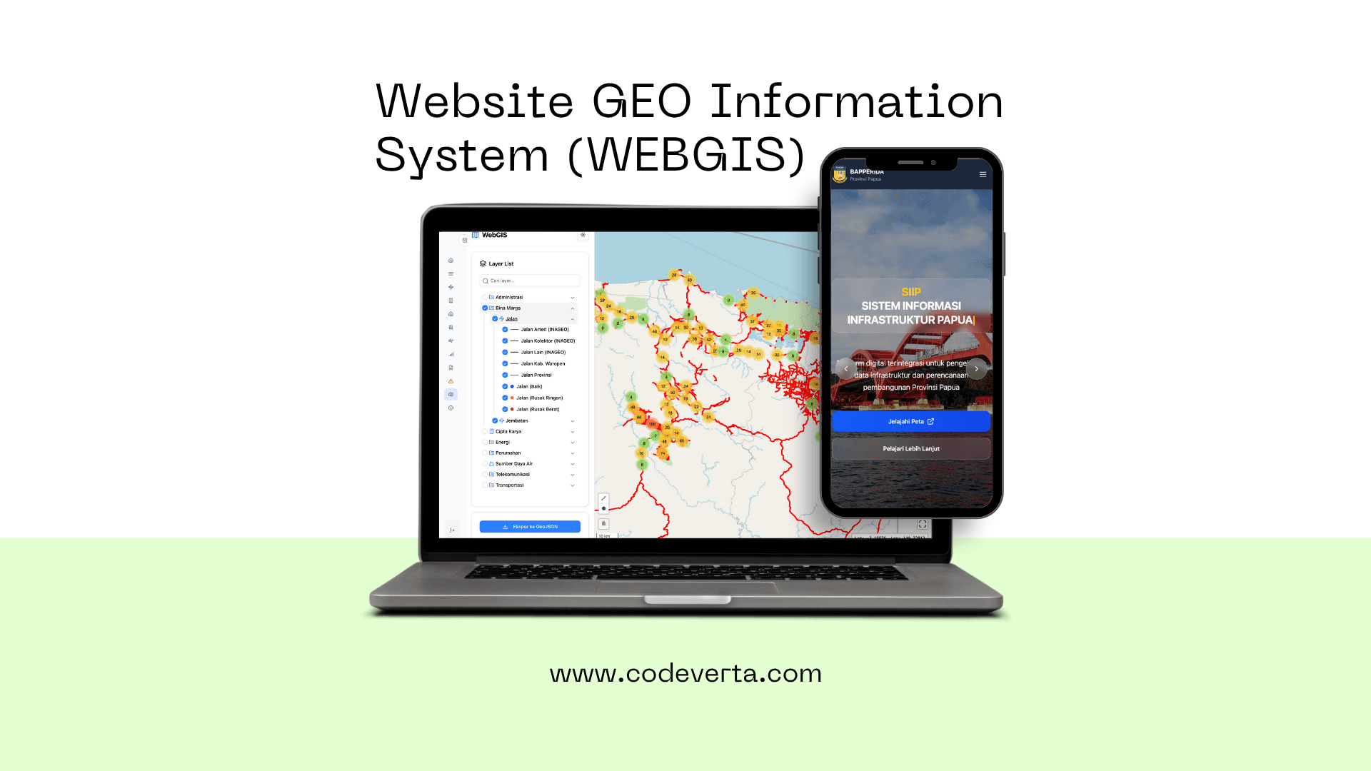
WebGIS Platform is an interactive, browser-accessible Geographic Information System (GIS) solution engineered to streamline geospatial data visualization, analysis, and management datasets. The architecture enables users to securely upload coordinate files, compose custom thematic vector layouts, execute core spatial operations like buffering or polygon overlay tracking, and seamlessly share target maps with remote clients directly via web browser environments.
 1 / 1
1 / 1Client
Regional Development Planning Agency (Bappeda)
Duration
8 months
Last Updated
June 2025
This project emerged from an active institutional demand for modern, cloud-accessible spatial calculation tools that operate flawlessly without requiring heavy, complex desktop GIS software installations. The primary goal centers on supplying a centralized workspace where planners, data analysts, and executive decision-makers can collaborate on geospatial files concurrently.
Our engineering team assembled a highly responsive Single Page Application (SPA) driven by React and Leaflet.js on the frontend. The backend services utilize a robust Node.js pipeline to supervise calculation processes and user accounts, shifting geospatial queries directly to a PostgreSQL database augmented with PostGIS data extensions.
The final product delivers a system that is not only snappier and user-friendly, but immensely powerful. System users can easily launch complex geometric analyses and yield highly descriptive thematic maps, empowering corporations to make strategic moves backed by accurate spatial location records.
Ulasan Klien
"Rendering heavy GeoJSON spatial vector data layers inside the browser is incredibly fluid. The proximity buffer analysis engine responds instantly."
Yusuf Anggara
GIS Analyst at Bappeda
Produk Lainnya
Mungkin Anda juga tertarik dengan produk kami yang lainnya
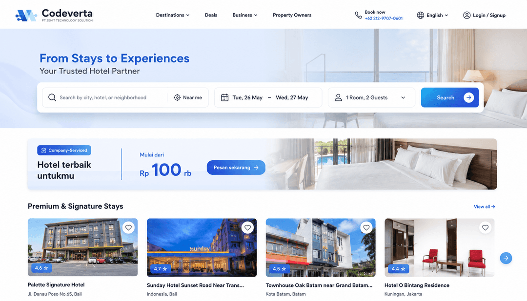
Software ini dirancang untuk agensi properti independen maupun korporat dalam mengelola inventaris rumah, apartemen, dan ruko secara digital. Sistem ini mengintegrasikan pelacakan prospek (leads) pembeli, pembagian komisi agen, hingga otomatisasi pembuatan brosur cetak dan digital dalam satu dashboard terpusat.
Pelajari Selengkapnya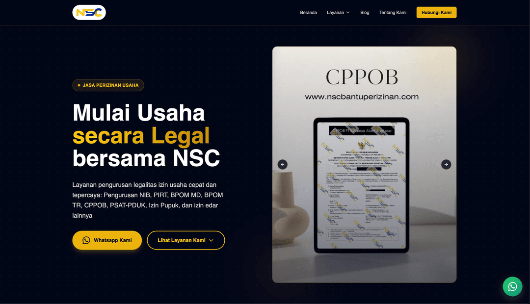
A holistic, cloud-centralized web application blueprint built for PT NSC JAYA MANDIRI. It serves as an elegant digital storefront mapping core corporate licensing services (incorporations for PT, CV, PMA entities alongside KBLI and IP classification alignments) while hosting a client tracking portal to trace corporate filing updates live.
Pelajari Selengkapnya
This specialized business software is crafted to handle complex large-scale catering lifecycles, spanning large buffet event arrangements down to consistent box lunch operations. The application interlocks automated grocery list compilers keyed off live order weights, monitors commercial kitchen preparation blocks, and tracks delivery driver transit locations from a unified control tower layout.
Pelajari SelengkapnyaVideo Demo
Lihat video produk WebGIS Platform
Blog & Insight
Coba Baca Artikel
Tips, tutorial, dan wawasan seputar teknologi untuk bisnis Anda
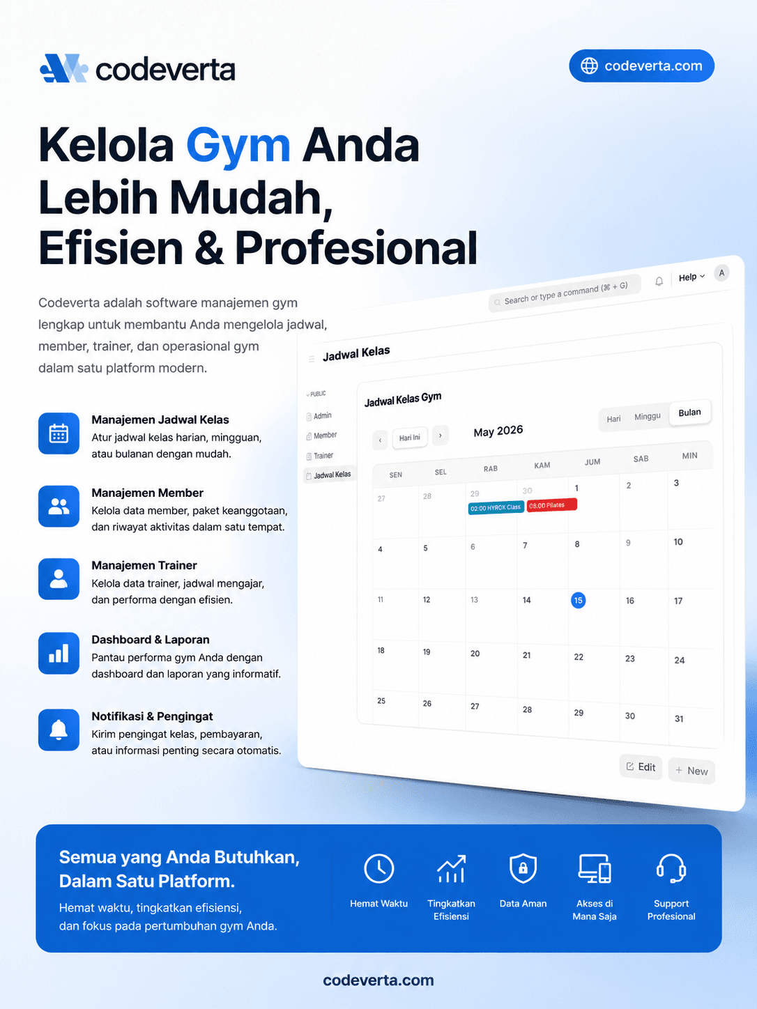
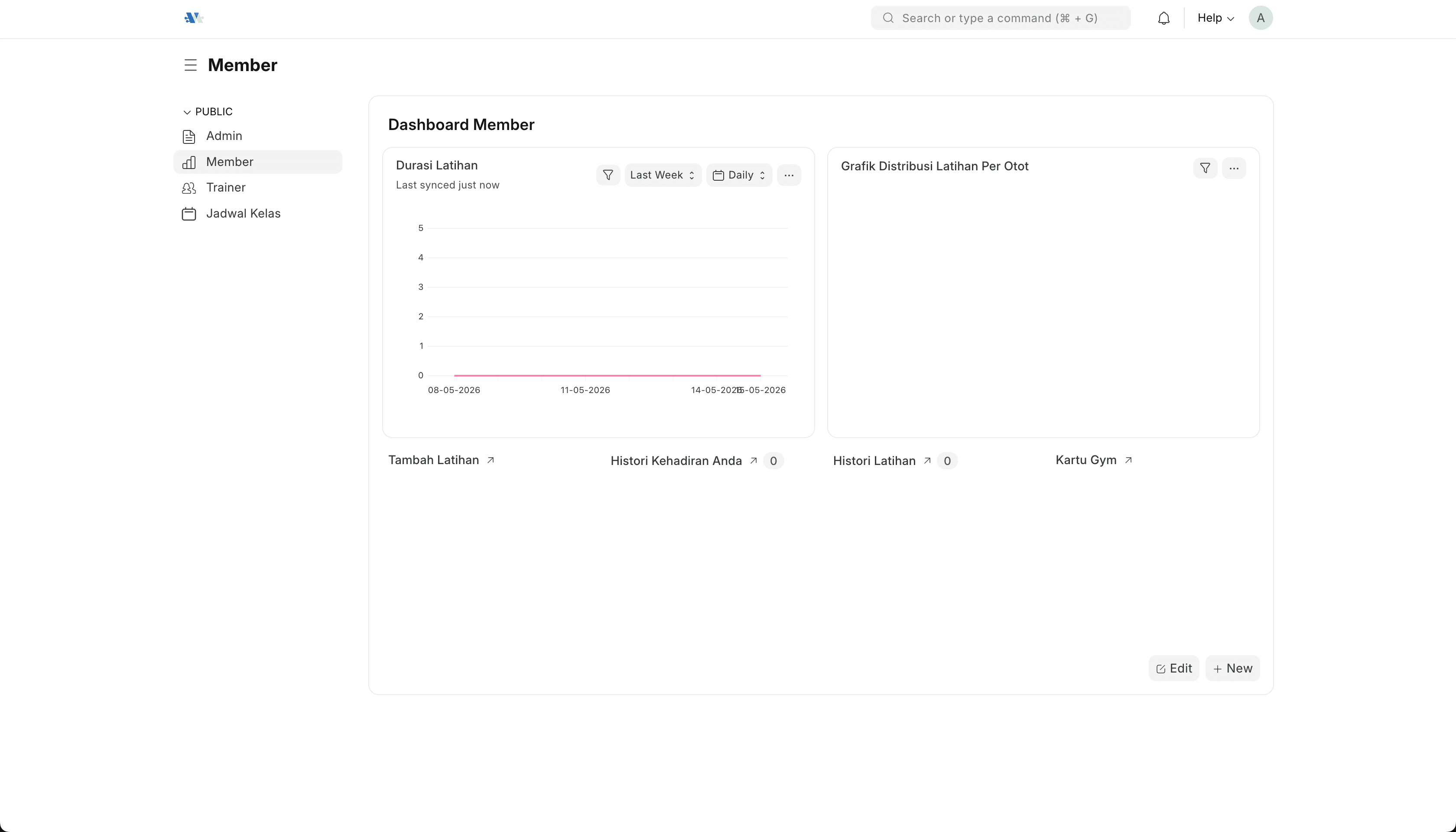
Gym Berantakan Gara-Gara Catatan Masih Manual? Saatnya Pakai Sistem Manajemen Gym
Bingung ngatur jadwal trainer, tracking member, dan laporan keuangan gym yang campur aduk? Simak bagaimana sistem informasi manajemen gym bisa bikin operasional rapi tanpa pusing.
Kenapa Gym Kecil Susah Pertahankan Member dan Cara Mengatasinya
Member daftar bulan pertama ramai, bulan ketiga tinggal setengah. Simak 5 penyebab utama churn member di gym kecil dan solusi yang sudah terbukti.
Kenapa Hotel Kecil dan Penginapan Sering Kehilangan Tamu Setia?
Booking dari marketplace terus, tamu datang dan pergi, tapi tidak ada yang balik lagi? Bedah masalah hotel kecil dan cara bikin tamu jadi pelanggan tetap.
Ada yang bisa kami bantu?